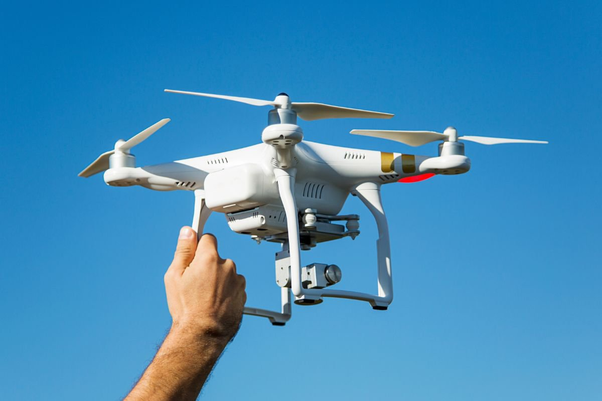
In recent years, drones have emerged as invaluable tools in urban planning, offering aerial perspectives that enhance the understanding of complex urban environments. By capturing high-resolution images and videos, drones provide planners with detailed visual data, facilitating informed decision-making in city design and development. This technology enables the assessment of land use, infrastructure, and environmental conditions with unprecedented accuracy and efficiency.
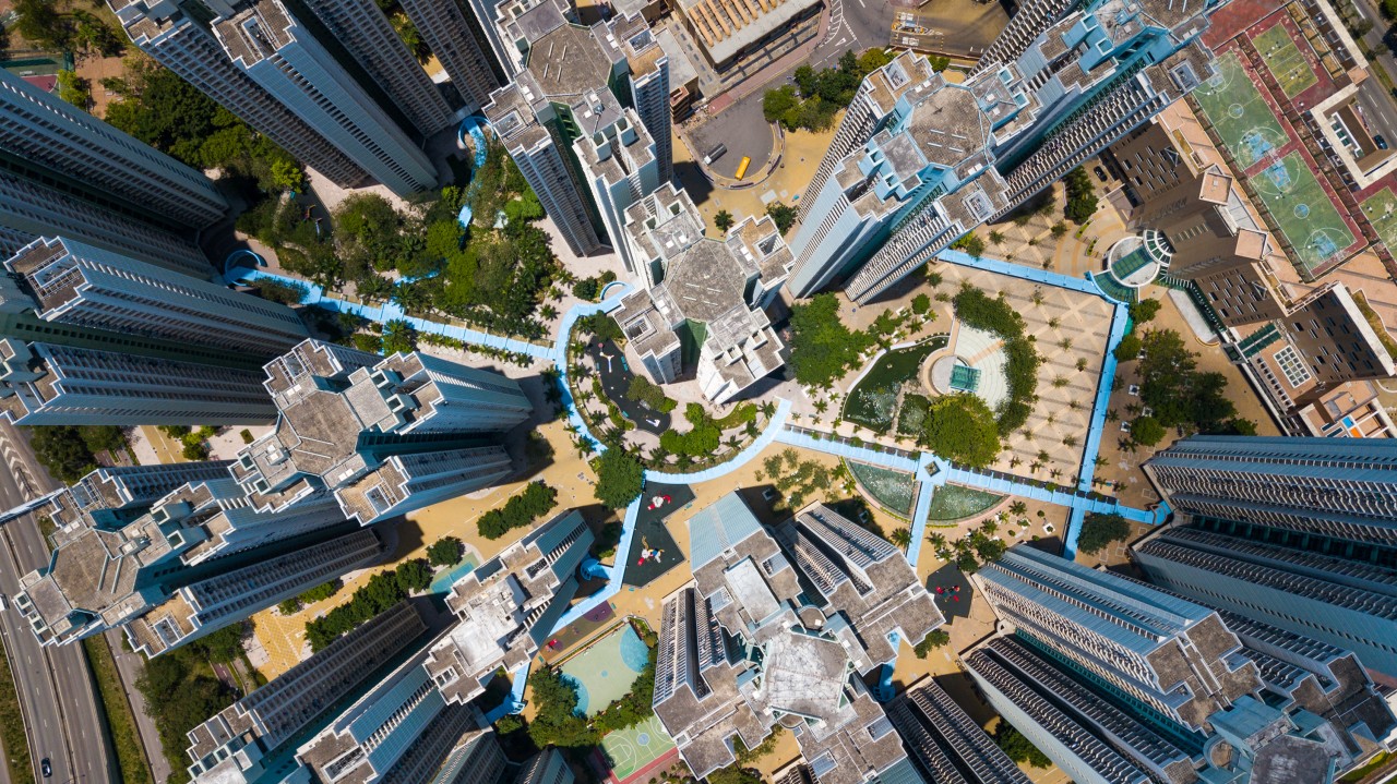
The integration of drone technology into urban planning processes allows for the creation of precise 2D and 3D models, aiding in the visualization of proposed projects and their potential impact on existing landscapes. These models support simulations of traffic flow, sunlight exposure, and wind patterns, contributing to the design of more sustainable and livable urban spaces. Furthermore, drones can monitor construction progress and ensure compliance with zoning regulations, streamlining project management and reducing the likelihood of costly errors.
As urban areas continue to expand, the role of drones in planning and development is poised to grow. By providing comprehensive aerial data, drones empower planners to make data-driven decisions that balance growth with environmental stewardship. The adoption of drone technology in urban planning not only enhances the efficiency and accuracy of the planning process but also promotes the creation of resilient and sustainable cities for future generations.