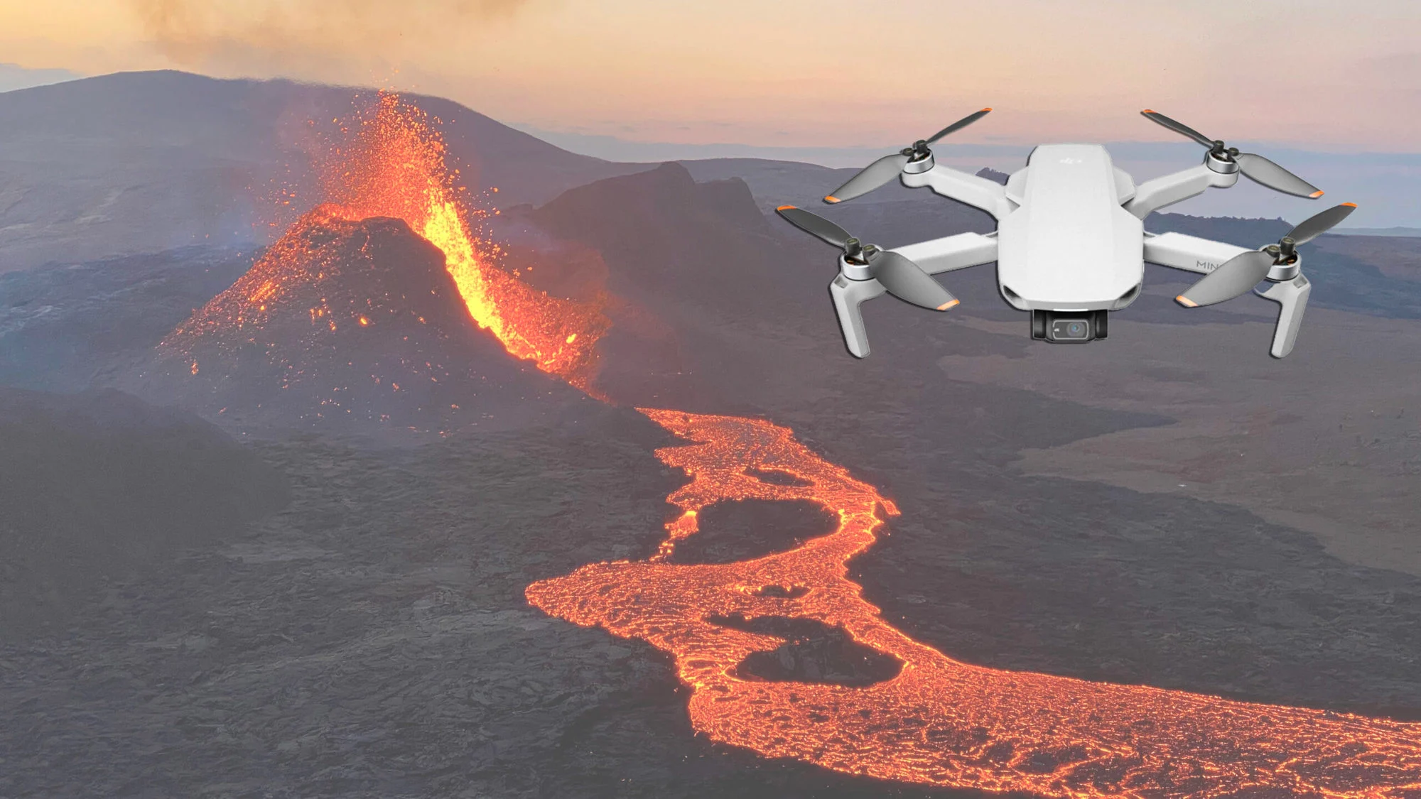
Drone photography has revolutionized how we explore Earth’s most volatile landscapes—especially active volcanoes. What was once accessible only to scientists with helicopters or satellites is now within reach of skilled drone pilots. With thermal cameras and stabilizing tech, drones can capture dramatic aerial footage of molten lava flows, ash clouds, and crater formations without putting human lives at risk.
These breathtaking shots aren’t just for cinematic awe; they serve a scientific purpose. Researchers use drone footage to monitor volcanic activity in real time, predict eruptions, and analyze patterns in lava flow—all from a safe distance. Countries like Iceland, Indonesia, and Italy now rely on drone data for early-warning systems, proving that these devices are more than just flying cameras.
Beyond science, drone-captured volcano imagery has captivated global audiences through documentaries and social media. This fusion of technology and natural power provides a new frontier for storytelling and environmental awareness. As drone capabilities evolve, so too will our understanding of Earth’s fiery underworld—one aerial shot at a time.