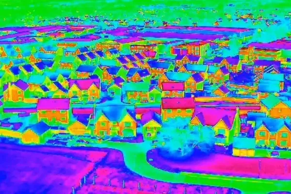
Thermal Drone Mapping: Revealing Hidden Infrastructure Flaws from the Sky
Thermal‑equipped drones are transforming routine inspections into data‑rich, high‑efficiency missions. By combining RGB imagery with infrared sensors, pilots can detect heat anomalies in solar farms, power lines, and commercial roofs long before failures occur. Certified thermographers recommend flying pre‑dawn when ambient temperatures are stable, maximizing thermal contrast for accurate hotspot identification. These aerial scans collect…
